把中国历代名窑标在地图上,你会发现一个惊人的规律:
越窑、龙泉窑、景德镇、长沙窑、吉州窑——全都在长江流域。
为什么不是黄河流域?为什么不是沿海?为什么偏偏是长江?
这不是巧合。三个条件同时成立,才能成为"窑口"。
窑口要什么
烧瓷器,需要三样东西:瓷土、燃料、运输。
瓷土:南方多高岭土,北方少。
燃料:南方多山林、多木材,北方少。
运输:瓷器重、易碎,必须有水路才能大批量运出。
三项里,前两项靠天给,第三项靠人建。而长江,恰好把第三项做到了极致。
换句话说:长江是一条天然传送带,把瓷器从山里的窑口送到半个中国。
四大窑口,四条支流
中国最有名的几个瓷区,其实都靠着某条支流。
越窑(东汉到宋)——浙江上林湖一带。沿着钱塘江水系,向东通往宁波港,是唐代外销瓷的主力。
长沙窑(唐)——湖南长沙铜官镇。临湘江,直通洞庭湖,唐代重要的外销瓷产地。
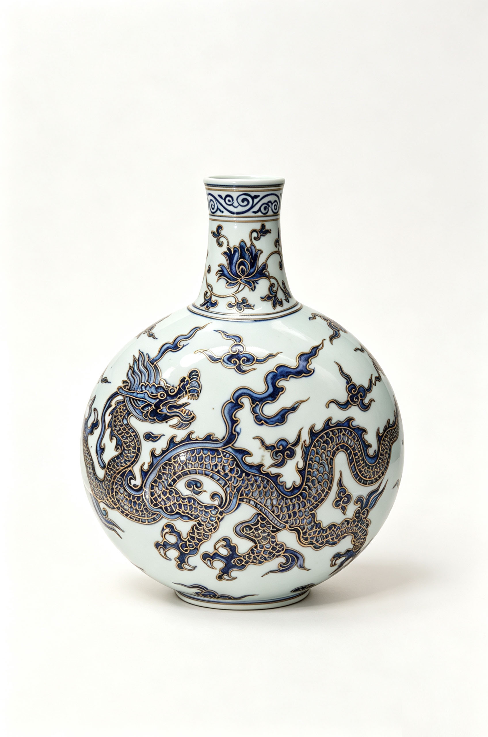
景德镇(宋到清)——江西景德镇。靠昌江,经鄱阳湖进入长江,是明清官窑所在地。
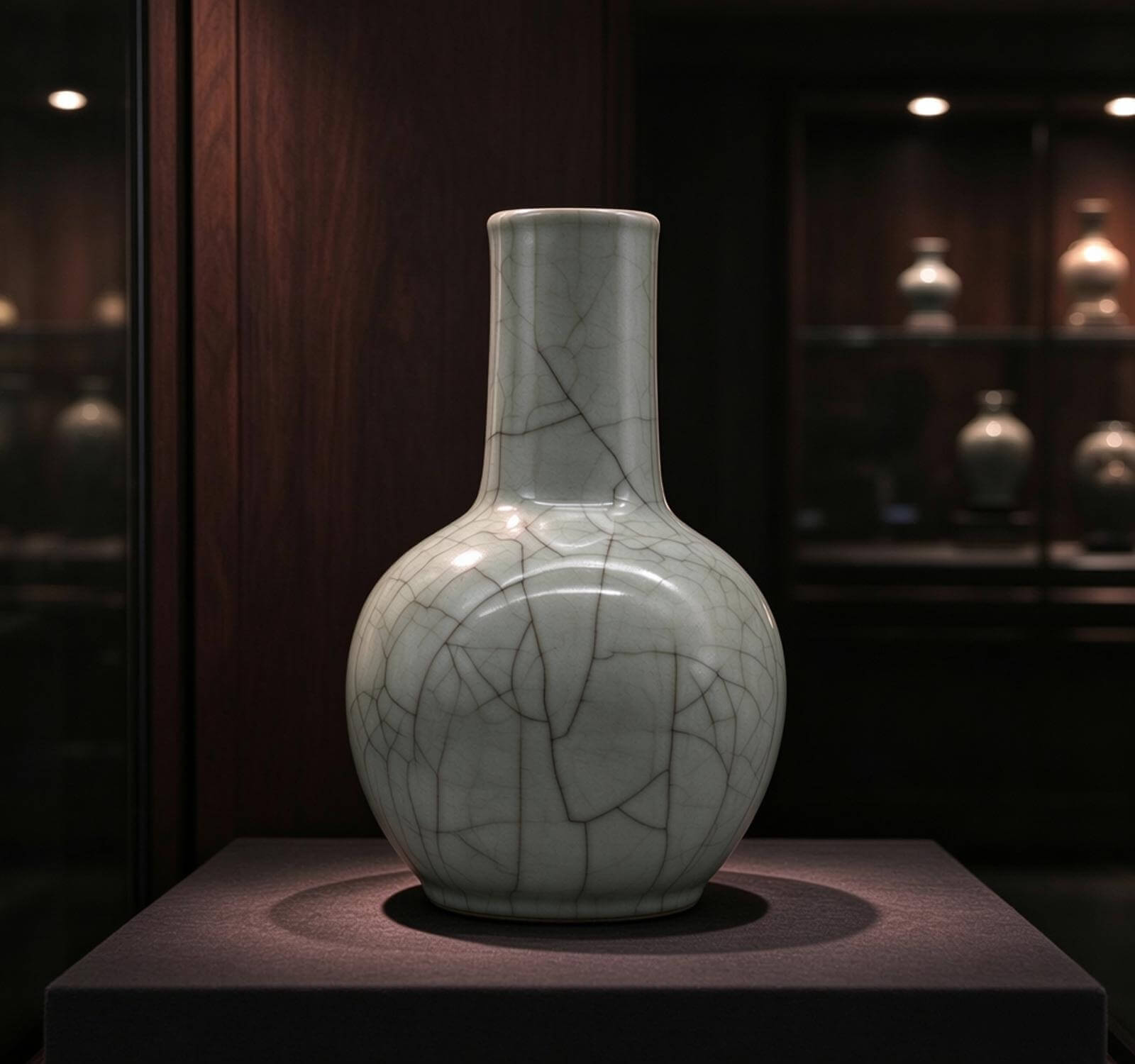
龙泉窑(宋到明)——浙江龙泉。沿瓯江,出温州港,是宋元外销青瓷的代表。
四条支流,四个瓷区,四个出口方向。长江水系就像一个巨大的瓷器网络。
为什么北方窑口后来没落
北方也有过名窑:定窑、磁州窑、钧窑、耀州窑。但到明清之后,都逐渐衰落。
原因有三。
一、水土流失。黄河流域长期开发过度,森林减少,燃料短缺。烧瓷需要大量木柴,北方越来越烧不起。
二、漕运衰落。北方依赖的运河运输在清代后期逐渐瘫痪,市场流通不畅。
三、战乱破坏。宋金、宋元、明清交替,北方都是主要战场。窑口被毁、匠人南逃,是常态。
到了清代,景德镇一统天下。官窑、民窑、外销瓷,几乎全部集中在这一座江西小城。
而景德镇的位置,恰恰是长江水系的中心。
长江就是瓷器的高速公路
今天我们看地图,长江是一条蓝线。但在古代,它是一条真正的"高速公路"。
每天有成百上千的货船在这条水道上来回。景德镇的瓷器、湖广的粮食、江浙的丝绸、四川的木材——全在这条水上流动。
瓷器走得最远。它从景德镇出发,先顺昌江而下,到鄱阳湖换大船,进入长江,然后在扬州分两条路:一路北上走运河到北京,一路南下到广州出海。
有的瓷器一直走到了波斯、土耳其、荷兰、英国。
而它们出发的那条河,就在江西。
瓷器的历史,一半写在窑火里,一半写在江水上。
长江水系的分布,直接决定了中国瓷器版图的样子。
下次你在新加坡的拍卖行看到一件景德镇老瓷,可以想象它从昌江出发、经鄱阳湖、过长江、出南海——最后到了这里。
一件瓷器走过的路,比你想象的远得多。
Put the great kilns of Chinese history on a map, and a striking pattern emerges:
Yue, Longquan, Jingdezhen, Changsha, Jizhou — all in the Yangtze basin.
Why not the Yellow River basin? Why not the coast? Why the Yangtze specifically?
It is not coincidence. A location can become a "kiln centre" only when three conditions line up.
What a Kiln Needs
To fire porcelain, three things are needed: clay, fuel, and transport.
Clay: the south is rich in kaolin, the north poor.
Fuel: the south has forests and wood, the north does not.
Transport: porcelain is heavy and fragile; only water routes allow bulk shipment.
Of the three, the first two are gifts of nature; the third must be built. And the Yangtze happens to be the most extreme version of the third.
In other words: the Yangtze was a natural conveyor belt, carrying porcelain from mountain kilns to half of China.
Four Great Kilns, Four Tributaries
China's most famous porcelain regions each sit on a tributary.
Yue kilns (Eastern Han–Song) — around Shanglin Lake in Zhejiang. Along the Qiantang river system, east to the port of Ningbo; the export mainstay of the Tang.
Changsha kilns (Tang) — Tongguan town, Hunan. On the Xiang River, straight to Dongting Lake; a major export centre of the Tang.
Jingdezhen (Song–Qing) — Jiangxi. On the Chang River, via Poyang Lake into the Yangtze; site of the Ming-Qing imperial kilns.
Longquan kilns (Song–Ming) — Zhejiang. On the Ou River, out to the port of Wenzhou; the face of Song-Yuan export celadon.
Four tributaries, four porcelain regions, four export directions. The Yangtze basin was one enormous porcelain network.
Why the Northern Kilns Declined
The north also had great kilns: Ding, Cizhou, Jun, Yaozhou. But from the Ming-Qing onward, all declined.
Three reasons.
First, soil erosion. The Yellow River basin was over-developed for centuries. Forests shrank, fuel ran short. Firing porcelain consumes vast amounts of firewood; the north could no longer afford it.
Second, decline of the canal. The north depended on the Grand Canal, which by the late Qing was falling apart. Distribution broke down.
Third, war. Song-Jin, Song-Yuan, and Ming-Qing transitions turned the north into a battlefield again and again. Kilns burned, craftsmen fled south — this was the norm.
By the Qing, Jingdezhen dominated. Imperial, folk, and export porcelain were all concentrated in this one small town in Jiangxi.
And Jingdezhen's position happened to be the centre of the Yangtze water system.
The Yangtze Was the Highway
On a map today the Yangtze is a blue line. In the past, it was a genuine highway.
Hundreds of cargo boats moved up and down every day. Jingdezhen porcelain, Huguang grain, Jiangnan silk, Sichuan timber — all flowing along this water.
Porcelain went the farthest. From Jingdezhen, downstream on the Chang River, transferring at Poyang Lake to larger vessels, then into the Yangtze, then branching at Yangzhou: north by canal to Beijing, south to Guangzhou for export.
Some porcelain reached Persia, Turkey, the Netherlands, and England.
And the river it departed from was in Jiangxi.
Half of porcelain history is written in kiln fire; the other half on river water.
The shape of China's porcelain map was decided by the distribution of the Yangtze water system.
Next time you see an old Jingdezhen piece at a Singapore auction, imagine it leaving the Chang River, passing Poyang Lake, entering the Yangtze, exiting the South China Sea — and finally arriving here.
The road a piece of porcelain travels is longer than you think.